Charting Waters: Mapping Lake Erie
The NOAA makes its return to the Great Lakes to capture high-frequency, 3D sonar images and update navigational charts.
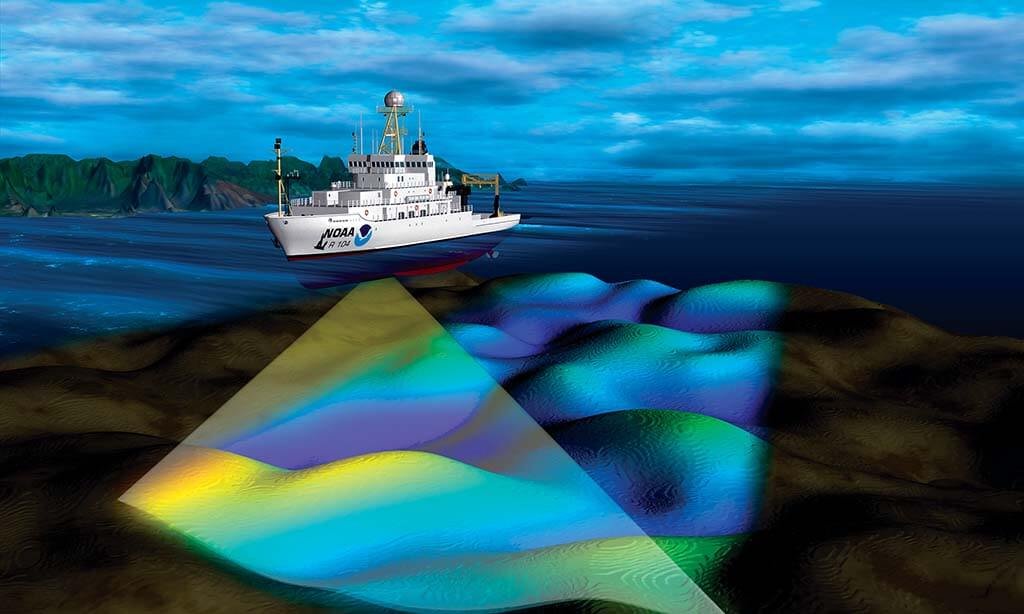
What lies beneath? That’s a question the National Oceanic and Atmospheric Administration (NOAA) will explore when it sends the deep-water hydrographic survey ship Thomas Jefferson to Lake Erie for a six-month mission April to October. The goal is to update navigational charts and collect data for state and federal scientists.
The last time a NOAA ship visited the Great Lakes was in the early 1990s — so the mission is long overdue.
“Our focus will be on primary ports, commercial and recreational traffic, and other factors like fisheries and habitat management,” says Tom Loeper, NOAA’s Great Lakes navigation manager.
The vessel was commissioned in 2003 and has been in service on the Atlantic and Gulf coasts, says Matthew Jaskoski, the ship’s commanding officer and lead hydrographer. Overall, NOAA covers about 3.6 million square nautical miles, resulting in about 1,000 charts. The 208-foot Thomas Jefferson carries a crew of about 35 commissioned officers and mariners.
“It’s a very capable ship in terms of endurance and can stay away for 45 days at a time,” Jaskoski says. “It is equipped with a full suite of modern high-frequency sonars used for 3D modeling that we can use to get very high-resolution, detailed images.”
Sonar captures everything from small rocks to obtrusions on the sea floor. Technology has evolved significantly since the last Lake Erie charts were created. Even 30 years ago, sonar mapping ships emitted a single beam of sound to gather information for charts.
“Our capabilities now are a full swath that stretches out about three times the water depth, and we get relatively complete 3D coverage of the sea floor,” Jaskoski says. “It’s more detailed and more accurate.”
Focus areas will include the sandy peninsula around Presque Isle State Park in Pennsylvania and a concentration on the Cleveland Harbor, where the Thomas Jefferson will be docked when not working offshore. It will travel to the Lake Erie Islands, specifically areas around Put-in-Bay and Kelleys Island where there is heavy ferry traffic. The Detroit River leg will include attention to the river bottom and work south by the Ambassador Bridge and tunnel between the U.S. and Canada.
To capture the sonar images, the vessel moves back and forth in a grid pattern, much like mowing a lawn, Jaskoski describes.
The Lake Erie effort is a continuation of NOAA’s commitment to the Great Lakes. “Survey work like this is very labor and equipment intensive,” Loeper says. “We try to do a survey once and use it for many different products.”
Data gathered will identify lake health concerns, such as harmful algae blooms, and can help drive ice forecasts. Jaskoski adds, “We will be gathering valuable data for multiple users, and at the end of the day, it’s primarily for safe navigation of mariners.”
Story:
Kristen Hampshire
2022 May/June

